Drone photography, video & mapping
Aerial photos, video and maps for property, construction and land
Drew’s Drone Services plans every flight around your site, your schedule and the FAA’s rules, then delivers organized files you can put to work. You’ll deal directly with Drew, from the first question to the final download.
Every job is planned around the FAA’s Part 107 rules for commercial drone operations.
- Airspace checked
- Site & weather reviewed
- Shot list agreed with you
- Written quote approved
What we do
Six services, each built around a specific kind of job. Not sure which one fits? Describe the project and we’ll recommend the right mix.
Real estate photos & video
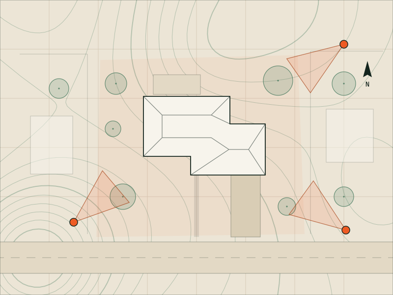
Aerials that show the lot, the setting and what’s nearby, sized for the MLS and the web.
For agents & sellers
Explore real estate aerials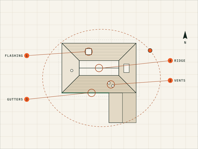
Roof & exterior photos
Detailed roof photos, with an optional dated PDF photo report, without anyone climbing a ladder.
For roofers & adjusters
Explore roof photos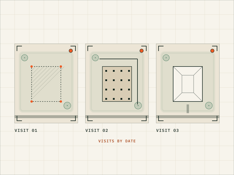
Construction progress
The same vantage points wherever the site allows, organized by date for owners, lenders and your team.
For builders & GCs
Explore progress documentation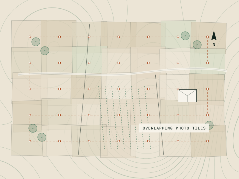
Mapping & 3D models
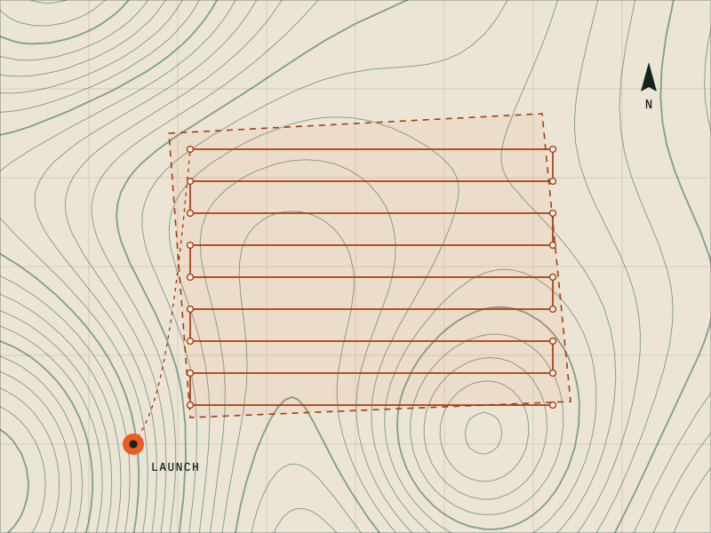
Current overhead maps and 3D models, as visual references for planning. Not a land survey.
For planners & designers
Explore mapping & 3D
Commercial video & photo
Aerial video and stills for your website, ads and social media, planned around people and permissions.
For businesses & venues
Explore commercial video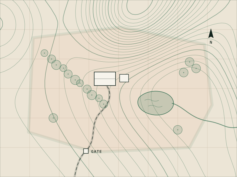
Land, farm & acreage
Photos, video and optional maps that show how your land is laid out.
For landowners & farms
Explore land & farm aerialsNeed thermal imaging, crop-health imaging or measurements? Ask, and we’ll tell you whether we can help or who can.
Compare all servicesWho we help
Different jobs need different things from a drone. Here’s what we can do for each.
Real estate agents, homeowners & sellers
Listing photos and video that show the lot, the setting and what’s close by, so buyers understand the property before they visit.
Roofers, insurance adjusters & property managers
Organized, dated photos of roofs and exteriors for estimates, claims documentation and condition records. Your experts make the calls; we supply clear images.
Builders, developers & general contractors
A consistent progress record from repeatable vantage points, plus aerial maps and 3D models for planning and presentations.
Landowners & farms
A current look at your acreage, whether you’re listing it, checking on it after a storm or keeping a seasonal record.
Businesses, venues & organizations
Aerial video and photos that show your place and its setting, for your website, ads and social media.
Not sure where you fit?
Describe the property and what you need to see, and we’ll suggest the right approach.
Start a quote requestHow it works
From your first message to your final files.
-
WP 01
Tell us about the job
Use the quote form to share the location, the timing and what you need.
-
WP 02
Get a written quote
Drew checks the site and the airspace, asks any questions and sends a written quote that lists the deliverables.
-
WP 03
Plan and schedule
We pick a date with a weather backup, then request any FAA airspace authorization the site needs for that date and time.
-
WP 04
Flight day
We check the site, fly the plan and keep the drone from passing over anyone who isn’t part of the flight crew.
-
WP 05
Get your files
Edited, organized files arrive by private download link.
If weather or an airspace restriction makes a flight unsafe or not allowed, we reschedule with you.
Request a quote See the full process How we fly safelyWhat you’ll receive
Standard file formats, organized so they’re easy to use and share.
- Photo
- Photos
- Edited JPEGs in full resolution and web sizes.
- Video
- Video
- Edited MP4 video, plus vertical cuts for social media when you need them.
- Report
- Photo reports
- A labeled, dated PDF photo report for roofs and exteriors, when you add one.
- Map
- Aerial maps
- High-resolution orthomosaic map images (JPEG or PDF), for visual reference.
- 3D
- 3D models
- 3D model views and fly-around video, for visualization.
- Files
- Delivery
- Everything in one private download link.
Exact formats and quantities are listed in your quote.
The weather decides. FAA rules require at least 3 statute miles of visibility and set minimum distances from clouds. Rain, strong or gusty wind, fog and smoke are all reasons to hold off, and roof photos also need a dry roof with no snow. If conditions aren’t safe, or won’t produce the images you need, we reschedule with you.
Every job is quoted individually, because the work varies so much. The main things that affect the price are:
- the size of the property, site or area
- the number of buildings or locations
- which deliverables you need (photos, video, maps, 3D models, reports)
- how much editing or processing is involved
- travel to the site
- one-time or recurring visits
- your deadline
Tell us about the job and you’ll get a written quote before anything is scheduled.
Often, yes, with FAA permission. Near many airports the airspace is controlled, and we need FAA authorization before flying. Many locations can be approved through the FAA’s LAANC system, often within minutes, up to a set altitude. Others need a manual FAA review, either a “further coordination” request through LAANC (filed at least 72 hours ahead) or a request through FAA DroneZone. Manual reviews take longer and can be denied. We check the airspace for your address before we quote.
Your quote includes a delivery estimate for your job. Photos are usually quicker than edited video, and maps and 3D models take the longest because processing takes time.
No. Our aerial maps (orthomosaics) and 3D models are visual references for planning, marketing and visualization, not measurement tools. They are not a licensed land survey and don’t establish boundaries, legal descriptions or measurements. In some states, maps and models that contain measurable data count as land surveying, so we check your state’s rules before we quote. For surveys and measurements, hire a licensed professional land surveyor. More about mapping and 3D models.
Still wondering about something?
Email drew@drewsdrone.services and you’ll hear back from Drew directly.
Have a property, project or site in mind?
Tell us what you need and where. Drew will check the airspace, ask any questions and send a clear, written quote.
Or write to drew@drewsdrone.services
- Project
- Your property, site or land
- Service
- Photo · Video · Maps · 3D models
- Plan
- Airspace checked, shot list agreed
- Quote
- In writing, before we fly
- Reply
- From Drew, directly