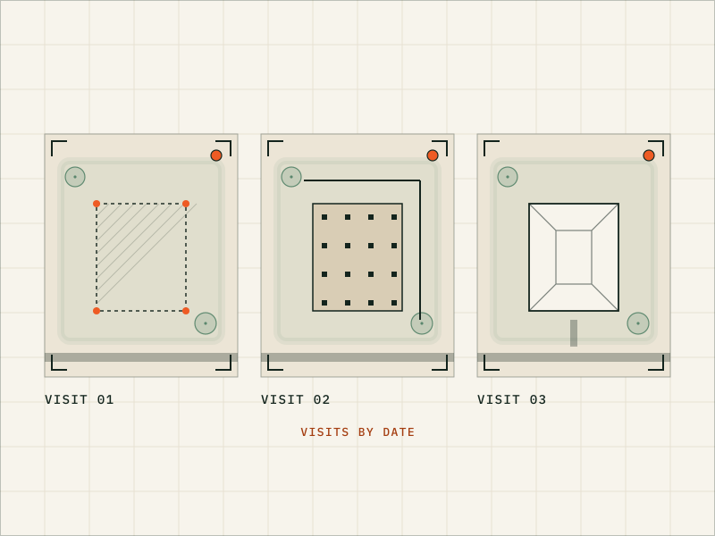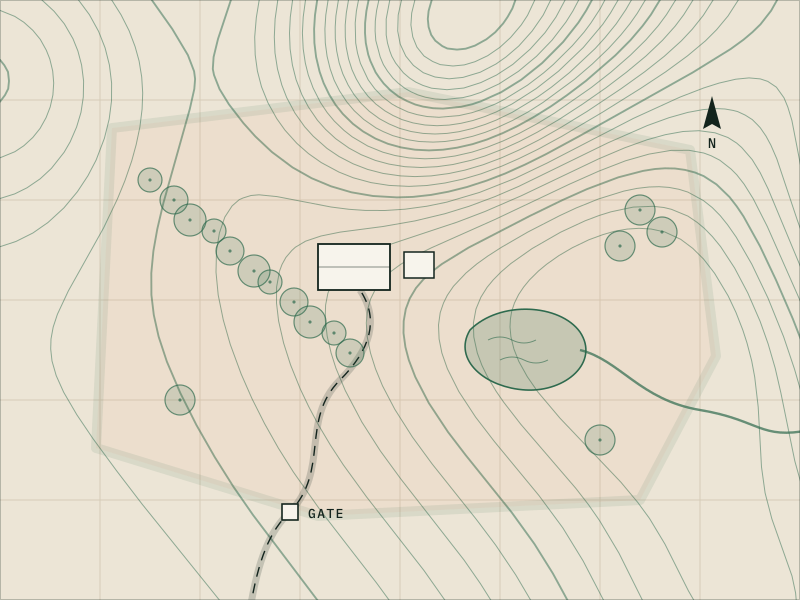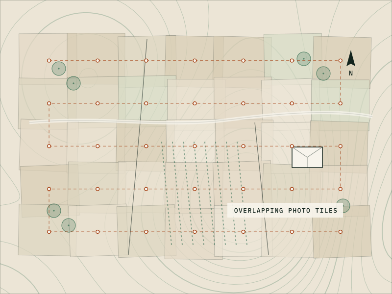
Online satellite imagery is often out of date and too blurry for planning. An aerial map stitched together from many overlapping drone photos gives you a current, detailed overhead view of your site. The same photos can produce a 3D model, delivered as still views and a fly-around video.
These maps and models are visual references for planning, design context, presentations and marketing. They aren’t land surveys or measurement tools, and before we quote a mapping job we check what your state’s surveying rules allow.