What we do
Aerial services for property, projects and land
Photos, video, roof documentation, progress records, maps and 3D models, each planned around your site and the FAA’s Part 107 rules.
- Every job is planned around the FAA’s Part 107 rules for commercial drone operations.
Choose a service
Six services, each built around a specific kind of job.
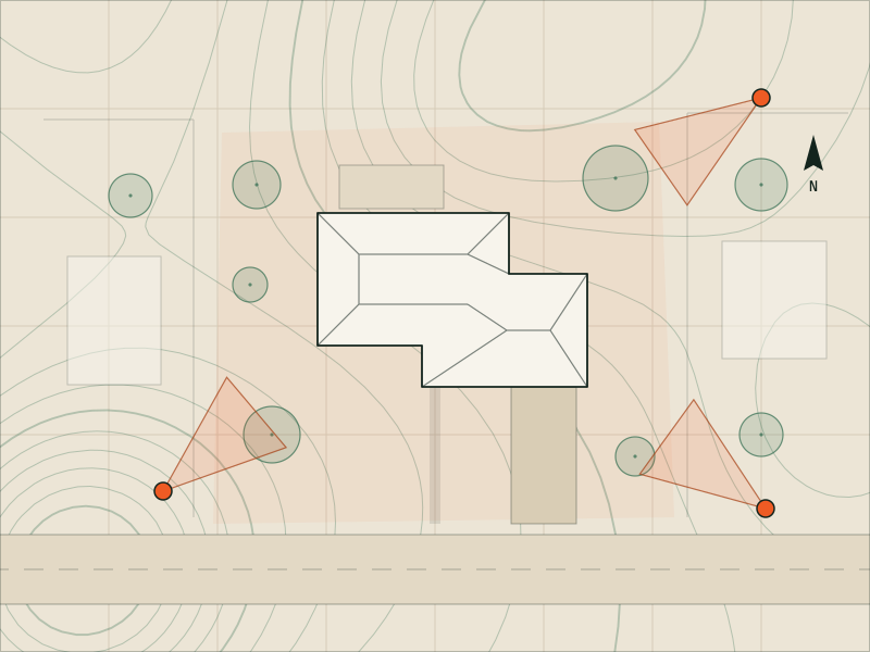
Real estate photos & video
Aerial photos and video that show a listing’s lot, setting and surroundings, edited and sized for MLS, websites and social media.
Ideal for: Listing agents and teams
View service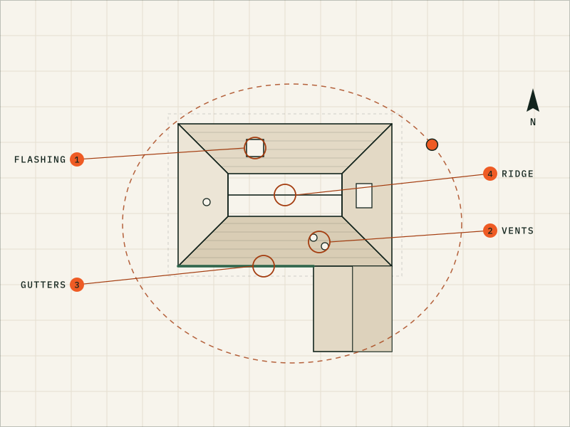
Roof & exterior photos
Detailed drone photos of roofs and exteriors, organized for your roofer, your adjuster or your own records, with an optional dated PDF photo report.
Ideal for: Roofing contractors preparing estimates or before-and-after records
View service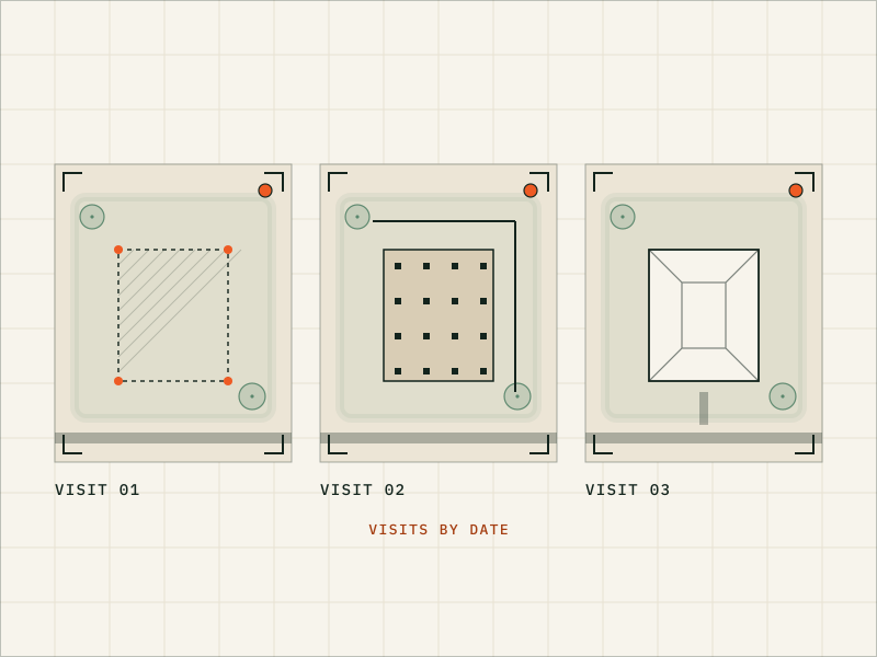
Construction progress
Scheduled aerial photos, plus optional video, from the same vantage points on every visit wherever the site allows, organized by date so owners, lenders and your team can follow progress.
Ideal for: General contractors and custom-home builders
View service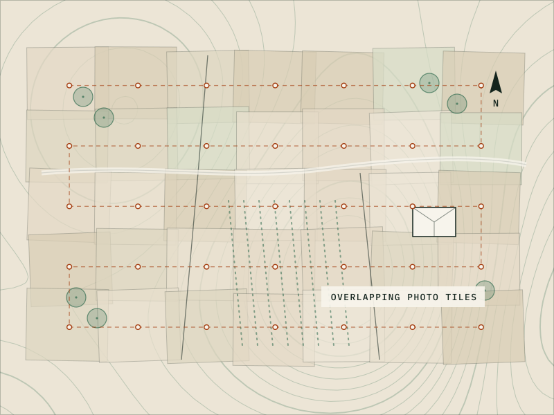
Mapping & 3D models
Up-to-date overhead maps (orthomosaics) and 3D models of sites and buildings, as visual references for planning, design context and marketing. Not a land survey.
Ideal for: Developers and landowners planning a site
View service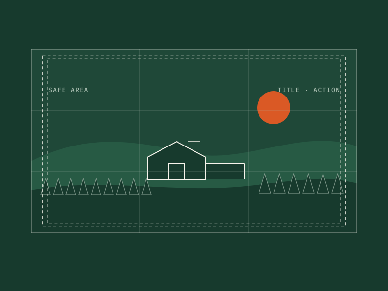
Commercial video & photo
Aerial video and photos of businesses, venues, campuses and organizations for websites, ads and social media, planned around people and permissions.
Ideal for: Small businesses, storefronts and facilities
View service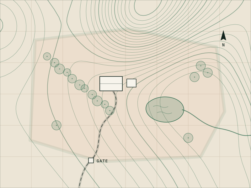
Land, farm & acreage
Aerial photos, video and optional maps of land, farms and acreage, for selling a property or keeping a current eye on your own.
Ideal for: Landowners and farm or ranch owners
View serviceNot sure which service fits?
Plenty of jobs overlap. A builder may want progress photos and a 3D model. A land listing may need photos, video and a map. Choose “Not sure yet” in the quote form and describe your goal, and we’ll recommend the right mix.
Start a quote requestWhat affects the price
Every job is quoted individually. These are the things that move the number:
- The size of the property, site or area
- The number of buildings or locations
- Which deliverables you need
- How much editing or processing is involved
- Travel to the site
- One-time or recurring visits
- Your deadline
- You’ll get a written quote before anything is scheduled.
What we don’t do
- Land surveys, property lines, measurements or volumes. For those, hire a licensed professional land surveyor.
- Damage assessments, repair estimates, insurance decisions or licensed home inspections. We document; your roofer, adjuster or inspector decides.
- Crop spraying, spreading or seeding. Dispensing pesticides, fertilizer or seed from a drone needs a separate FAA Part 137 certificate, and usually an FAA exemption.
- Flights in airspace or places where FAA rules, a temporary flight restriction or local rules don’t allow them.
Specialty requests
Thermal imaging, crop-health imaging, measurements, twilight or night flights and multi-site programs need specific equipment, training or approvals. Ask, and we’ll tell you honestly whether we can help. If a request is outside what we do, we’ll say so, and point you in a useful direction if we can.
Ask a questionTell us about your project
Share the location, the timing and what you need. Drew will reply by email with questions or a written quote.
Or write to drew@drewsdrone.services
- Project
- Your property, site or land
- Service
- Photo · Video · Maps · 3D models
- Plan
- Airspace checked, shot list agreed
- Quote
- In writing, before we fly
- Reply
- From Drew, directly