Service · Land & farm

Aerial photos and video that show how your land lies

Aerial photos, video and optional maps of land, farms and acreage, for selling a property or keeping a current eye on your own.

  • Every job is planned around the FAA’s Part 107 rules for commercial drone operations.
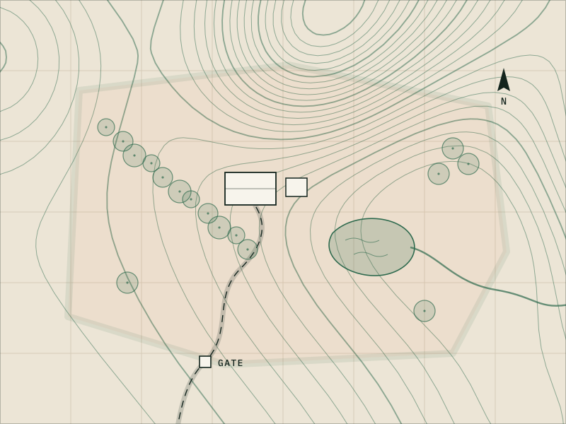
Illustration of rural acreage on a contour map, with fields, a gate and an access road.
02 Overview

Land, farm & acreage

Acreage is hard to show from the ground. From the air you can see how the land is laid out: fields and tree lines, ponds and creeks, barns and outbuildings, and the roads that connect them.

We photograph and film land for listings, and for owners who want a current look at their property, whether that’s after a storm or once a season.
Ideal for

  • Landowners and farm or ranch owners
  • Land and ranch agents listing acreage
  • Hunting and recreational property owners
  • Rural homeowners checking on outbuildings, ponds or storm damage
03 Deliverables

What you get

Exact formats and quantities are listed in your quote.

Photo
Edited aerial photos (JPEG)
Wide views, angled views and key features.
Video
A flyover or tour-style video (MP4)
If you add video.
Graphic
An overview graphic, if you add one
Features labeled and marked as approximate.
Delivery
One private download link
Edited photos, video and any map or labeled graphic.

Add-ons

Available on request. Ask for any of these in your quote request.

  • Seasonal repeat flights (spring green-up, fall color, leaf-off)
  • Aerial map image (orthomosaic, JPEG or PDF) of the property, as a visual reference
  • Condition photos of fences, ponds, dams, washouts or outbuilding roofs
  • Marketing edit for a land listing
04 Process

How the job works

From your first message to your final files.

  1. WP 01

    Tell us about the land

    Share the acreage, access roads and gates, and the features that matter: water, timber, fields, structures, trails.

  2. WP 02

    Plan the visit

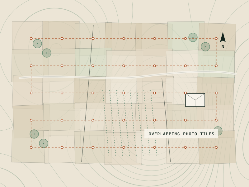
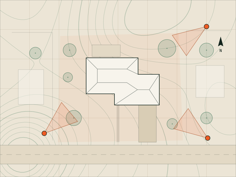
    Large properties may need several launch points so the drone stays within sight. We check the airspace and ask about nearby private airstrips or crop-dusting work.

  3. WP 03

    Fly with care

    We keep a respectful distance from livestock and wildlife, avoid neighboring homes, and work around the hunting seasons and farm schedules you tell us about.

  4. WP 04

    Deliver

    Edited photos, video and any map or labeled graphic arrive by private link.

05 Before you book

Good to know

  • Our photos show visible conditions only. Crop-health (NDVI) and thermal imaging need specialty sensors. Ask, and we’ll tell you whether we can help.
  • We don’t determine or draw property lines. Labels on an overview graphic are approximate and for illustration only.
  • We don’t spray, spread or seed. Dispensing pesticides, fertilizer or seed from a drone is an agricultural aircraft operation that needs a separate FAA Part 137 certificate, and usually an FAA exemption.
  • We don’t fly to scout, locate or drive game. Many states restrict using drones for hunting, near hunters or around wildlife.
  • Very large properties may take more than one visit.
  • We need the landowner’s permission to take off and land. Please share gate and livestock details before the day, but don’t send gate or alarm codes through the website.
06 Pricing

What affects the price

Every job is quoted individually. The main factors:

  • Acreage and terrain
  • Photos, video or both
  • A map or labeled graphic
  • Number of launch points or visits
  • Travel to the property
  • You’ll get a written quote before anything is scheduled.
07 Questions

Questions about this service

Read all FAQs

No. Property lines are a legal matter for a licensed land surveyor, and lines drawn from public parcel maps can be off. We can label features such as ponds, barns and roads on an overview graphic, marked as approximate.

It depends on what you want to show. Green-up and summer show fields and pasture, fall color flatters wooded land, and leaf-off months reveal terrain, creeks and trails hidden under the canopy. Tell us your goal and your deadline.

Often, but it depends on the size, the shape and the terrain, and on keeping the drone within sight. Tell us the acreage and we’ll plan launch points and let you know if it needs more than one visit.

Standard photos show what’s visible: standing water, washouts, bare patches and storm damage. Crop-health analysis and thermal imaging need specialty sensors. Ask, and we’ll tell you whether it’s something we can do.

Animals react differently, so tell us where livestock will be. We keep our distance, avoid low passes over animals and adjust the plan if they seem unsettled.

Still wondering about something?

Email drew@drewsdrone.services and you’ll hear back from Drew directly.

09 Get started

Ready to show your land?

Tell us about the job and Drew will reply with questions or a written quote.

Or write to drew@drewsdrone.services

Project
Your property, site or land
Service
Photo · Video · Maps · 3D models
Plan
Airspace checked, shot list agreed
Quote
In writing, before we fly
Reply
From Drew, directly